Wards Hill Road and Killcare Heights


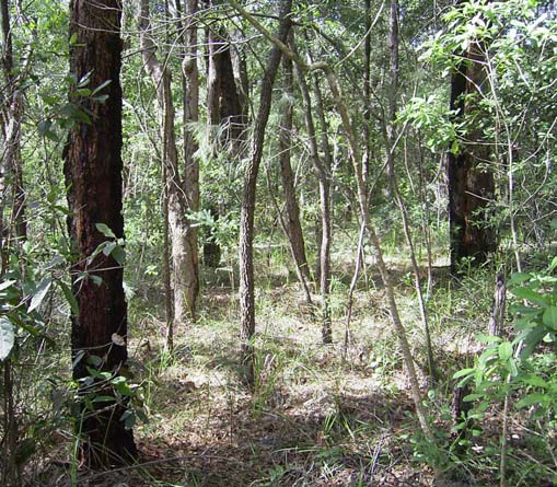
This region, although dominated by human settlement, still retains pockets of the original woodland. The least disturbed part is along the trail from the top of Wards Hill Rd through the national park towards Daley's point. The soil is poor but the trees grow large. There is an open understory scattered with many of the flowering heath plants that are more prolific on Box Head.
The triangle is the local name for a well-defined region of the Bouddi Peninsula. It is the area contained by the Scenic Rd, Wards Hill Rd and Maitland Bay Drive. Apart from a small southerly section of residential land it is essentially a semi-rural enclave zoned E4. This zone is for land with special environmental or scenic values, and accommodates low impact residential development.
The triangle is surrounded by Bouddi National park except where it abuts residential land (zoned R2). It contains a small section of National Park on its Western edge and several smaller sections of Council reserve, which are part of the Coastal Open Space System (COSS) whose zoning status in the new LEP has been deferred.
It contains the upper part of the catchment for Mudflat Creek, the largest creek on the Bouddi peninsula that runs through the environmentally important and ecologically sensitive Fletchers Glen rain forest area and whose mouth is in Hardy’s Bay.
The soils of the triangle are predominantly a laterite loam. This soil type does not exist anywhere else on the peninsula. Laterite loam is a concretion of iron and aluminium oxide, tends to a reddish colour and is very deficient in nitrogen and phosphorus. Despite this, much of the triangle was cleared and the red, lateritic loam was used for vegetable growing, which required requiring heavy manuring from the concurrently operating poultry farming.
The dominant tree species is the easily recognisable Angophora costata or Sydney Red gum which flourishes on these soils.
|
Trees
|
Angophora costata (Sydney Red Gum) |